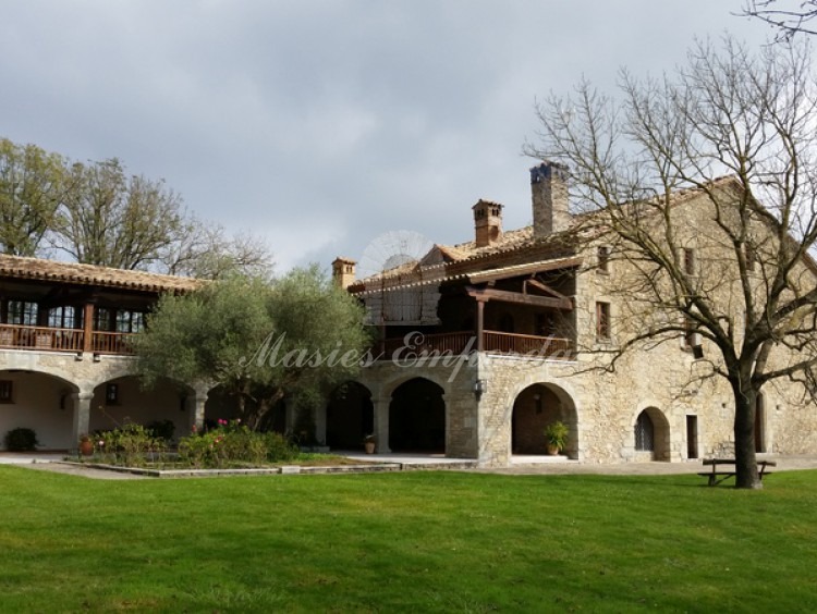
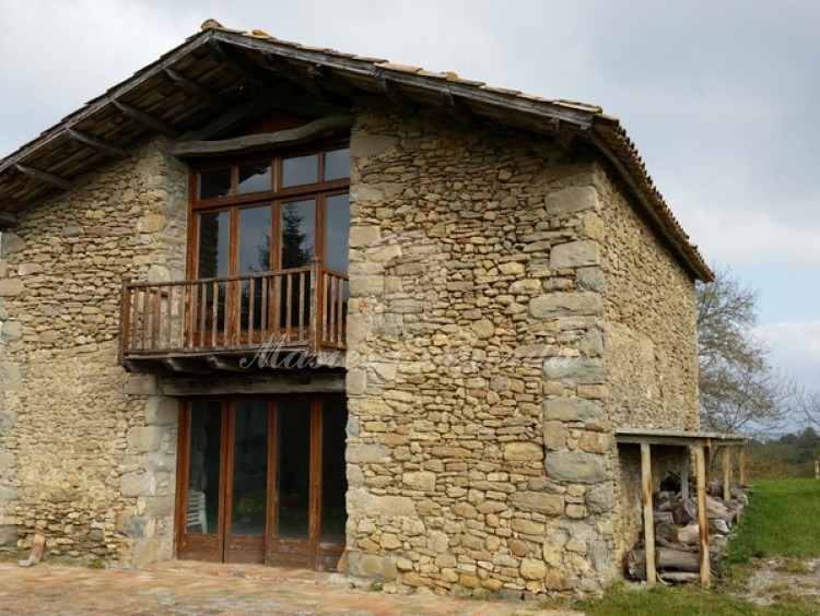
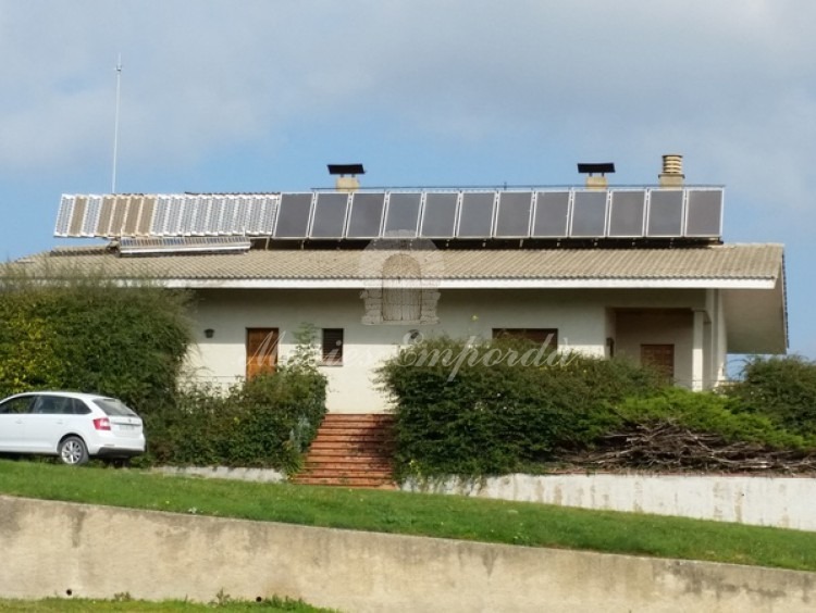
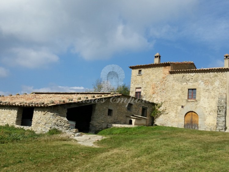
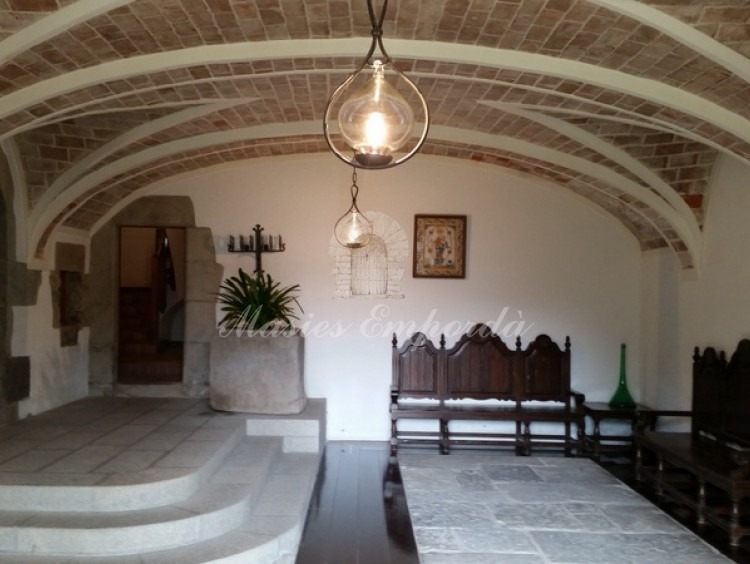
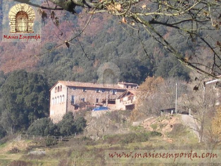
House with an area of 268 hectares of land in the Lluçanes
Description
The farm is located in the Osona, halfway between the towns of Sant Boi de Lluçanès, Sora, and Oris.
Geographically it is located in the north border of the Catalan Central Depression and Pre-Pyrenees.
The farm has a total area of 267.68 ha. This area has been derived from the topographic map by surveyor (October 5, 1994).
The farm is located in an elevated position to an intermediate level between the Vic Plain and Lluçanès plateau: dimensions of between 680 and 960 m above sea level. The farm has a central part of flat relief, with landings in high position are occupied mainly by farming and grazing areas. In extreme relief surrounding the central landing becomes steep, with slopes facing mostly shady and covered with woodland.
On the farm forestry and agricultural and livestock applications combined with a greater presence of the first proportion of surface but the second most important in the operation of the whole farm.
The forest stands that predominate are: pubescent oak forests of oak, holm oak and pine groves of red pine. These formations often appear to form mixed forests of oak (Quercus humilis), Scots pine (Pinus sylvestris), oak (Quercus ilex) and other hardwoods, mostly maple (Acer opalus), maple (Acer campestre) and maple appears Montpellier (Acer monspessulanum).
Other coniferous species that appear are the black pine (Pinus nigra), from a stocking made 50 years ago, and the Aleppo pine (Pinus halepensis), which appears in the driest places.
Among the hardwoods they appear as associates; maple (Sorbus aria), ash (Fraxinus excelsior), aspen (Populus tremula), the useful • ler (Tilia platyphyllos) and cherry (Prunus avium).
Many of these forests have silvopasture use, take advantage from the point of view of livestock production in addition to forest production with cattle grazing in the forest, taking advantage of the herbaceous and shrub layer.
Grazing areas are mostly former farmland that are exclusively dedicated to the production and use as fodder grasses, directly by livestock.
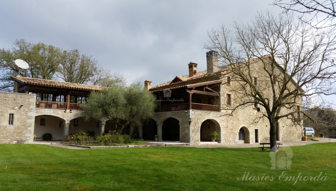
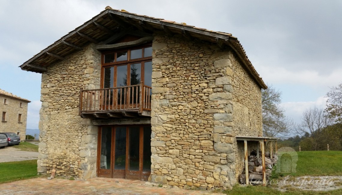
A considerable surface is occupied by the buildings described in the previous paragraph and the corresponding sheet of water in small reservoirs of water reserve. The farm area that goes to each of the applications and their proportion in the whole of the estate is summarized in the following table.
Land use Area (ha) and%
- Edified. ...... ..................................0.4961 (0.2%)
- Water depth.. ........................ ...... 0,4633 (0.2%)
- Crops......................................... 14.6559. (5.5%)
- pastures .. ................................. 38.9469 (14.5%)
- Pinares. ... .. ........................... 113.3039 (42.3%)
- oak ... .. ................................. 23.1948 (8.7%)
- Encinar ................................... 40.8186(15.2%)
- Moors and scrub ... .. ............... 35.8070 (13.4%)
Total: 267.6864 100.0%
Farm. On the property is carried out an important activity in the agricultural sector, including the various branches of this: • Livestock farm: the farm has a herd of 100 cattle grazing all year at the farm in extensive and a farm of pigs in intensive regimen.
• Holding: Holding focuses on forage production is consumed within the own farm to feed a herd of 100 cattle.
• Logging: Based on a Technical Plan for Forest Management and Improvement, approved by the Centre of Forest Property No. 583 and in effect until 2019.
• Exploitation hunting, the estate became an independent APC, number B-10351.
• exploitation of other resources: the farm has become an area reserved truffle collection. The existing road network allows access to all areas of the farm. Existing roads have a total length of 21 km, which distributed according to the different types of road is: type path length
Principal 1.7 km
Primary 1.5 km
Secondary 10.0 km
Skidding 7.8 km
TOTAL 21.0 km
The classification of roads in the different types meets the following criteria:
Main road: paths leading to the houses of the estate, and allowing connection to neighboring farms. These roads are paved in much of its length.
Primary way: roads that provide access to housing and allow the connection between different parts of the property. They are unpaved.
Secondary roads: they are ways that allow the general circulation of the farm, communicate with neighboring farms and the road network backbone skidding.
Roads deforestation: they are paths that should serve to provide access to equipment and workers in various units which have been carrying out work planned.
Location
